Topografische Karte Goro
Interaktive Karte
Klicken Sie auf die Karte, um die Höhe anzuzeigen.
Über diese Karte
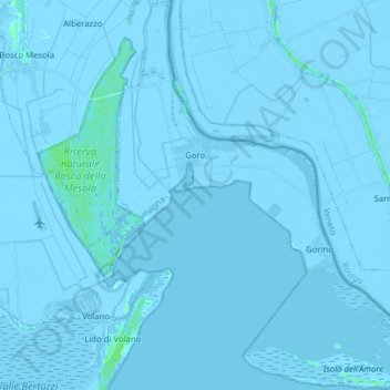
Name: Topografische Karte Goro, Höhe, Relief.
Ort: Goro, Unione Delta del Po, Ferrara, Emilia-Romagna, Italy (44.78359 12.25237 44.89482 12.39871)
Durchschnittliche Höhe: -2 m
Minimale Höhe: -8 m
Maximale Höhe: 7 m
Andere topografische Karten
Klicken Sie auf eine Karte, um ihre Topografie, ihre Höhe und ihr Relief anzuzeigen.
Comacchio
Italy > Emilia-Romagna > Ferrara
Comacchio, Ferrara, Emilia-Romagna, Italy
Durchschnittliche Höhe: -1 m
Lido degli Scacchi
Italy > Emilia-Romagna > Ferrara > Comacchio
Lido degli Scacchi, Comacchio, Ferrara, Emilia-Romagna, 44022, Italy
Durchschnittliche Höhe: 0 m
Jolanda di Savoia
Italy > Emilia-Romagna > Ferrara
Jolanda di Savoia, Ferrara, Emilia-Romagna, 44037, Italy
Durchschnittliche Höhe: -2 m