

Topografische Karte Rye
Klicken Sie auf die Karte, um die Höhe anzuzeigen.
Rye
The town and its striking surroundings have frequently served as subject for painters, many of whose works are now on display in its art gallery. One of the earliest topographical panoramas, dating from the 17th century when the town was still an island port, is in the style of Hendrick Danckerts and on display in Rye Castle Museum. Later landscapists who recorded views of the town have included Thomas Girtin, William Daniell, and J. M. W. Turner. During the 20th century, the harbour and its marshy surroundings were a particular draw for such artists as Paul Nash, Eric Ravilious and John Piper. In addition, Edward Burra lived near Rye and frequently painted its marshy surroundings, buildings in the town and even local characters.
Über diese Karte
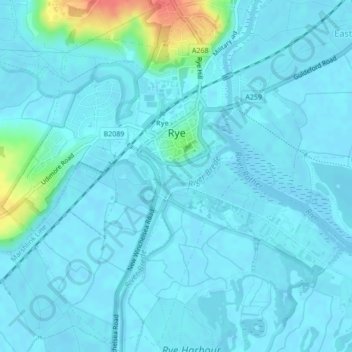
Name: Topografische Karte Rye, Höhe, Relief.
Ort: Rye, Playden, Rother, East Sussex, England, United Kingdom (50.93478 0.71150 50.96085 0.74795)
Durchschnittliche Höhe: 7 m
Minimale Höhe: -1 m
Maximale Höhe: 56 m