
Topografische Karte Cianciana
Interaktive Karte
Klicken Sie auf die Karte, um die Höhe anzuzeigen.
Cianciana
Cianciana is a comune (municipality) in the Province of Agrigento in the Italian region Sicily, located in the middle valley of the Platani river, about 70 kilometres (43 mi) south of Palermo and about 25 kilometres (16 mi) northwest of Agrigento. The Monte Cammarata, elevation 1,579 metres (5,180 ft) above sea level, part of the Monti Sicani chain, is nearby.
Über diese Karte
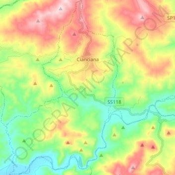
Name: Topografische Karte Cianciana, Höhe, Relief.
Ort: Cianciana, Agrigento, Sicily, 92012, Italy (37.45536 13.37639 37.55272 13.45511)
Durchschnittliche Höhe: 267 m
Minimale Höhe: 24 m
Maximale Höhe: 627 m