
Topografische Karte Berea
Interaktive Karte
Klicken Sie auf die Karte, um die Höhe anzuzeigen.
Berea
Berea is located on the border of the Cumberland Plateau. The area has a mountainous appearance, but most outcroppings in the area have a maximum elevation of 2,500 feet or 760 metres.
Über diese Karte
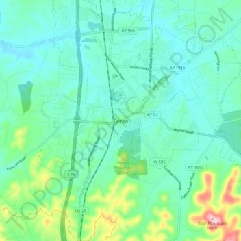
Name: Topografische Karte Berea, Höhe, Relief.
Ort: Berea, Madison County, Kentucky, 40404, United States (37.52869 -84.33632 37.60869 -84.25632)
Durchschnittliche Höhe: 314 m
Minimale Höhe: 264 m
Maximale Höhe: 504 m