
Topografische Karte Cortez
Interaktive Karte
Klicken Sie auf die Karte, um die Höhe anzuzeigen.
Über diese Karte
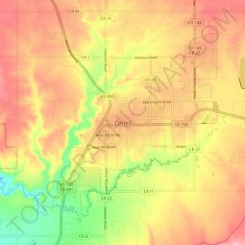
Name: Topografische Karte Cortez, Höhe, Relief.
Durchschnittliche Höhe: 1’869 m
Minimale Höhe: 1’770 m
Maximale Höhe: 1’940 m
Cortez has a dry-summer continental climate (Köppen Dsb), though it borders on a semi-arid climate (BSk) due to low precipitation. The city has hot summer days and cold winter nights, the latter a result of its elevation.