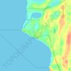
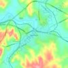
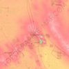
Topografische Karte Lake Varley
Klicken Sie auf die Karte, um die Höhe anzuzeigen.
Über diese Karte

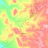
Name: Topografische Karte Lake Varley, Höhe, Relief.
Ort: Lake Varley, Shire of Kulin, Western Australia, Australia (-32.70238 119.35377 -32.66050 119.37818)
Durchschnittliche Höhe: 316 m
Minimale Höhe: 306 m
Maximale Höhe: 371 m
Andere topografische Karten
Klicken Sie auf eine Karte, um ihre Topografie, ihre Höhe und ihr Relief anzuzeigen.
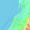
Perth
Perth, the capital of Western Australia, is situated on the Swan Coastal Plain, a flat expanse of sandy soil nestled between the Indian Ocean to the west and the Darling Scarp to the east. The Darling Scarp, also known as the Darling Range, is a low escarpment that extends north–south, marking a distinct…
Durchschnittliche Höhe: 26 m


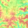
The Vines
Topographically, The Vines sits on a gradual incline that descends towards the Ellen Brook valley. The west of the suburb sits at 30 metres above sea level, dropping to 20 metres in the east around the brook and the Sawpit Gully.
Durchschnittliche Höhe: 27 m




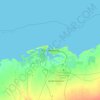
Katanning
Katanning railway station has an elevation of 1,024 feet (312 m) above sea level and a rail distance of 225 miles (362 km) from Perth.
Durchschnittliche Höhe: 323 m




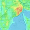
Stirling Range National Park
The park is particularly rich in banksias, eucalypts, orchids and verticordias. Ten species of mountain bells (Darwinia spp.) have been identified in the park and only one of these is found outside Stirling Range. Five major vegetation communities are known in the park with thicket and mallee-heath at higher…
Durchschnittliche Höhe: 235 m