
Topografische Karte Mid-City
Interaktive Karte
Klicken Sie auf die Karte, um die Höhe anzuzeigen.
Über diese Karte
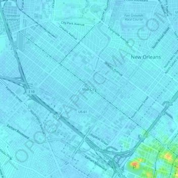
Name: Topografische Karte Mid-City, Höhe, Relief.
Durchschnittliche Höhe: 2 m
Minimale Höhe: -1 m
Maximale Höhe: 32 m
Mid-City is located at 29°58′19″N 90°05′49″W / 29.97194°N 90.09694°W / 29.97194; -90.09694 and has an elevation of 0 feet (0.0 m). According to the United States Census Bureau, the district has a total area of 1.66 square miles (4.3 km2), all land.