Geolokalisieren

Topografische Karte El Zujar

Interaktive Karte

Klicken Sie auf die Karte, um die Höhe anzuzeigen.

Über diese Karte

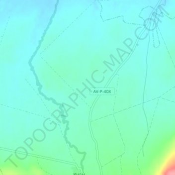
Name: Topografische Karte El Zujar, Höhe, Relief.

Ort: El Zujar, Sotalbo, Ávila, Castilla y León, España (40.55403 -4.86790 40.57403 -4.84790)

Durchschnittliche Höhe: 1’108 m

Minimale Höhe: 1’092 m

Maximale Höhe: 1’185 m

Andere topografische Karten

Klicken Sie auf eine Karte, um ihre Topografie, ihre Höhe und ihr Relief anzuzeigen.

Las Majadillas

España > Castilla y León > Sotalbo

Las Majadillas, Sotalbo, Ávila, Castilla y León, España

Durchschnittliche Höhe: 1’695 m

Pico Zapatero

España > Castilla y León > Sotalbo

Pico Zapatero, Sotalbo, Ávila, Castilla y León, España

Durchschnittliche Höhe: 1’782 m