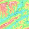
Topografische Karte Wanzhou
Klicken Sie auf die Karte, um die Höhe anzuzeigen.
Wanzhou
Wanzhou spans 30°24′−31°14′ N latitude and 107°55′−108°53′ E longitude, and is situated at the eastern edge of the Sichuan Basin. It reaches a maximal north–south extent of 67.25 km (41.79 mi) and east–west width of 97.25 km (60.43 mi), covering an area of 3,214 km2 (1,241 sq mi). Elevations range from 106 m (348 ft) in the town of Tailong (太龙镇) to 1,762 m (5,781 ft) at Shaping Peak (沙坪峰) of the Qiyao Mountains (齐曜山). Bordering county-level divisions.
Über diese Karte
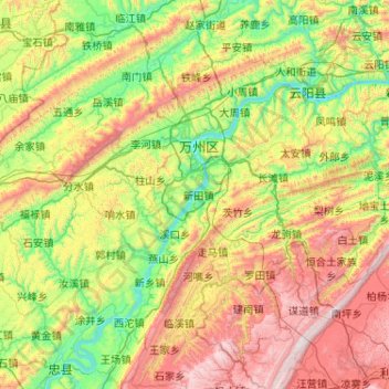
Name: Topografische Karte Wanzhou, Höhe, Relief.
Ort: Wanzhou, Chongqing, China (30.39282 107.86690 31.00522 108.89856)
Durchschnittliche Höhe: 651 m
Minimale Höhe: 87 m
Maximale Höhe: 1’806 m
Andere topografische Karten
Klicken Sie auf eine Karte, um ihre Topografie, ihre Höhe und ihr Relief anzuzeigen.
Chongqing
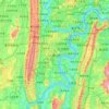
The central urban area of Chongqing, or Chongqing proper, is a city of unique features. Built on mountains and partially surrounded by the Yangtze and Jialing rivers, it is known as a "mountain city" and a "city on rivers". The night scene of the city is very illuminated, with millions of lights and their…
Durchschnittliche Höhe: 318 m









Xiushan
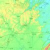
China > Chongqing > Xiushan Miao and Tujia Autonomous County > 中和街道
Durchschnittliche Höhe: 582 m


Banan
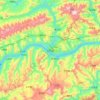
Banan, situated in the southern part of the Sichuan Basin, has a diversity of terrains including mountains, hills, wetlands and flood beds. The lowest point of the district is on its northern border with Nan'an District, at an altitude of 154 meters. The highest point is the top of Fangdou Mountain in the…
Durchschnittliche Höhe: 331 m