

Topografische Karte Mahendragiri
Klicken Sie auf die Karte, um die Höhe anzuzeigen.
Mahendragiri
Mahendragiri, is a mountain in Rayagada block of the district of Gajapati, Odisha, India. It is situated amongst the Eastern Ghats at an elevation of 1,501 metres (4,925 ft). The second highest motorable mountain of Odisha and 8th highest peak of Odisha.
Über diese Karte
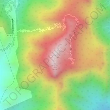
Name: Topografische Karte Mahendragiri, Höhe, Relief.
Ort: Mahendragiri, Burakhat, Ramagiri, Gajapati, Odisha, India (18.96629 84.36479 18.96639 84.36489)
Durchschnittliche Höhe: 1’108 m
Minimale Höhe: 711 m
Maximale Höhe: 1’494 m