
Topografische Karte Cape Charles
Interaktive Karte
Klicken Sie auf die Karte, um die Höhe anzuzeigen.
Über diese Karte
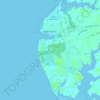
Name: Topografische Karte Cape Charles, Höhe, Relief.
Ort: Cape Charles, Northampton County, Virginia, United States (37.23459 -76.02569 37.28208 -75.99172)
Durchschnittliche Höhe: 2 m
Minimale Höhe: -6 m
Maximale Höhe: 17 m
Cape Charles lies on a peninsula and is surrounded by water on three sides. The town is situated directly on the Chesapeake Bay, bordered by King's Creek to the north and Old Plantation Creek to the south. The land in town is low lying and relatively flat, with the highest point of elevation at 15 feet, and a slope of less than 1%. Most of the developed land in town is between 5 and 10 feet in elevation.