
Topografische Karte Oakhurst
Interaktive Karte
Klicken Sie auf die Karte, um die Höhe anzuzeigen.
Über diese Karte
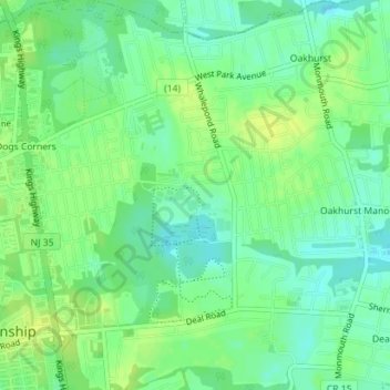
Name: Topografische Karte Oakhurst, Höhe, Relief.
Durchschnittliche Höhe: 15 m
Minimale Höhe: 6 m
Maximale Höhe: 23 m
According to the United States Census Bureau, the CDP had a total area of 1.614 square miles (4.178 km2), including 1.611 square miles (4.171 km2) of land and 0.003 square miles (0.006 km2) of water (0.16%). The CDP also has an elevation of 46 feet above sea level.