
Topografische Karte Étang de la Provostière
Interaktive Karte
Klicken Sie auf die Karte, um die Höhe anzuzeigen.
Über diese Karte
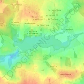
Name: Topografische Karte Étang de la Provostière, Höhe, Relief.
Durchschnittliche Höhe: 43 m
Minimale Höhe: 22 m
Maximale Höhe: 62 m