Geolokalisieren

Topografische Karte Roundtop Mountain

Interaktive Karte

Klicken Sie auf die Karte, um die Höhe anzuzeigen.

Über diese Karte

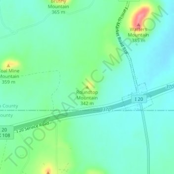
Name: Topografische Karte Roundtop Mountain, Höhe, Relief.

Ort: Roundtop Mountain, Palo Pinto County, Texas, 76463, United States (32.51647 -98.37732 32.51657 -98.37722)

Durchschnittliche Höhe: 320 m

Minimale Höhe: 297 m

Maximale Höhe: 389 m

Andere topografische Karten

Klicken Sie auf eine Karte, um ihre Topografie, ihre Höhe und ihr Relief anzuzeigen.

Bass Island

United States > Texas > Palo Pinto County

Bass Island, Palo Pinto County, Texas, United States

Durchschnittliche Höhe: 357 m

Possum Kingdom Lake

United States > Texas > Palo Pinto County

Possum Kingdom Lake, Palo Pinto County, Texas, United States

Durchschnittliche Höhe: 334 m

Santo

United States > Texas > Palo Pinto County > Santo

Santo, Palo Pinto County, Texas, United States

Durchschnittliche Höhe: 264 m

Mineral Wells

United States > Texas > Palo Pinto County > Mineral Wells

Mineral Wells, Palo Pinto County, Texas, 76067, United States

Durchschnittliche Höhe: 294 m