
Topografische Karte Groves
Interaktive Karte
Klicken Sie auf die Karte, um die Höhe anzuzeigen.
Über diese Karte
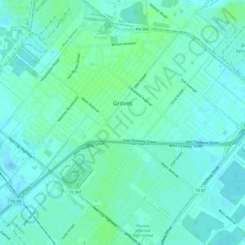
Name: Topografische Karte Groves, Höhe, Relief.
Ort: Groves, Jefferson County, Texas, 77619, United States (29.92488 -93.94477 29.96423 -93.89173)
Durchschnittliche Höhe: 4 m
Minimale Höhe: -2 m
Maximale Höhe: 9 m
According to the United States Census Bureau, the city of Groves has a total area of 5.2 square miles (13.4 km2), of which 0.015 square miles (0.04 km2), or 0.28%, are water. Most of the city sits at an elevation of 5 to 15 feet (1.5 to 4.6 m) above sea level.