
Topografische Karte Truro
Interaktive Karte
Klicken Sie auf die Karte, um die Höhe anzuzeigen.
Truro
Truro (postcode 5356, altitude 311m) is a town in South Australia, 80 km northeast of Adelaide. It is situated in an agricultural and pastoral district on the Sturt Highway, east of the Barossa Valley, where the highway crosses somewhat lofty and rugged parts of the Mount Lofty Ranges. At the 2021 census, Truro had a population of 523.
Über diese Karte
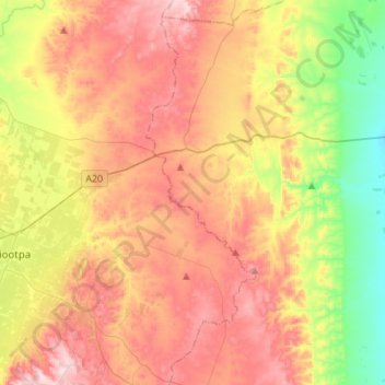
Name: Topografische Karte Truro, Höhe, Relief.
Durchschnittliche Höhe: 320 m
Minimale Höhe: 121 m
Maximale Höhe: 518 m