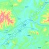
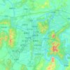
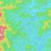
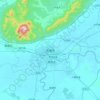
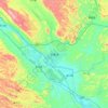
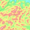
Topografische Karte Baise
Klicken Sie auf die Karte, um die Höhe anzuzeigen.
Baise
Baise has a monsoon-influenced, humid subtropical climate (Köppen Cwa), with short, mild, and dry winters, and long, very hot and humid summers. The monthly 24-hour average temperature ranges from 13.5 °C (56.3 °F) in January to 28.4 °C (83.1 °F) in July, for an annual mean of 22.12 °C (71.8 °F). Rainfall is low compared to more easterly locations in Guangxi, averaging around 1,067 mm (42 in) per annum, a majority of which occurs from June to August. There are 1,706 hours of bright sunshine annually. Significant temperature variation exists in the prefecture; the western parts, with an average elevation surpassing 500 m (1,640 ft), lie along the southeastern fringes of the Yunnan–Guizhou Plateau, and hold a climate similar to that of central Yunnan, with much more moderate summer temperatures. With monthly percent possible sunshine ranging from 25% in January and February to 49% in August, the city receives 1,706 hours of bright sunshine annually.
Über diese Karte
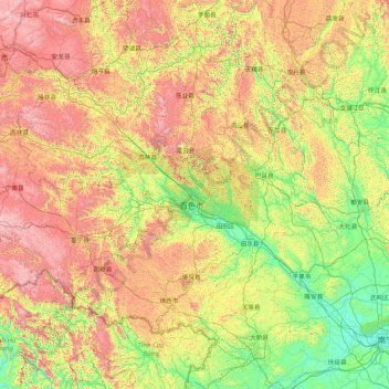
Name: Topografische Karte Baise, Höhe, Relief.
Ort: Baise, Guangxi, China (22.85575 104.44824 25.10213 107.88300)
Durchschnittliche Höhe: 688 m
Minimale Höhe: 62 m
Maximale Höhe: 2’177 m
Andere topografische Karten
Klicken Sie auf eine Karte, um ihre Topografie, ihre Höhe und ihr Relief anzuzeigen.