
Topografische Karte La Croix Saint-Jean
Interaktive Karte
Klicken Sie auf die Karte, um die Höhe anzuzeigen.
Über diese Karte
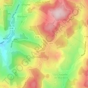
Name: Topografische Karte La Croix Saint-Jean, Höhe, Relief.
Durchschnittliche Höhe: 606 m
Minimale Höhe: 441 m
Maximale Höhe: 756 m