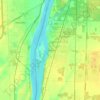
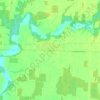
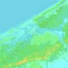
Topografische Karte Johnston Channel
Klicken Sie auf die Karte, um die Höhe anzuzeigen.
Johnston Channel
The creek begins at the right bank of the Chenail Ecarté (The Snye) at an elevation of 175 metres (574 ft), west of the community of Wallaceburg. It meanders south, then turns southwest, and reaches its mouth at Johnston Bay on Lake St. Clair, at an elevation of 175 metres (574 ft). Lake St. Clair flows via the Detroit River to Lake Erie.
Über diese Karte
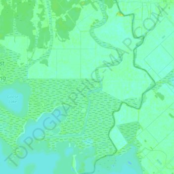
Name: Topografische Karte Johnston Channel, Höhe, Relief.
Durchschnittliche Höhe: 176 m
Minimale Höhe: 172 m
Maximale Höhe: 185 m
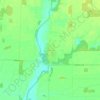
Andere topografische Karten
Klicken Sie auf eine Karte, um ihre Topografie, ihre Höhe und ihr Relief anzuzeigen.