
Topografische Karte Nicholls
Interaktive Karte
Klicken Sie auf die Karte, um die Höhe anzuzeigen.
Über diese Karte
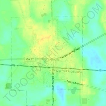
Name: Topografische Karte Nicholls, Höhe, Relief.
Ort: Nicholls, Coffee County, Georgia, United States (31.50487 -82.64814 31.53333 -82.62552)
Durchschnittliche Höhe: 54 m
Minimale Höhe: 42 m
Maximale Höhe: 65 m
Nicholls, Georgia is in the Wiregrass Region of the United States and inherits its topography and ecological diversity.