
Topografische Karte Johnsontown
Interaktive Karte
Klicken Sie auf die Karte, um die Höhe anzuzeigen.
Über diese Karte
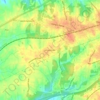
Name: Topografische Karte Johnsontown, Höhe, Relief.
Durchschnittliche Höhe: 246 m
Minimale Höhe: 220 m
Maximale Höhe: 265 m
Andere topografische Karten
Klicken Sie auf eine Karte, um ihre Topografie, ihre Höhe und ihr Relief anzuzeigen.
Pilot
United States > North Carolina > Davidson County > Thomasville
Pilot, Thomasville, Davidson County, North Carolina, 27360, United States
Durchschnittliche Höhe: 235 m
Erwin Heights
United States > North Carolina > Davidson County > Thomasville
Erwin Heights, Thomasville, Davidson County, North Carolina, 27360, United States
Durchschnittliche Höhe: 254 m