
Vielen Dank für die Unterstützung dieser Website ❤️
Spenden
Spenden
Rüste dich für dein nächstes Abenteuer:
Als Amazon-Partner verdient diese Seite an qualifizierten Käufen, ohne dass Ihnen zusätzliche Kosten entstehen.
Topografische Karte 河北头村
Klicken Sie auf die Karte, um die Höhe anzuzeigen.
Vielen Dank für die Unterstützung dieser Website ❤️
Spenden
Spenden
Rüste dich für dein nächstes Abenteuer:
Als Amazon-Partner verdient diese Seite an qualifizierten Käufen, ohne dass Ihnen zusätzliche Kosten entstehen.
Über diese Karte
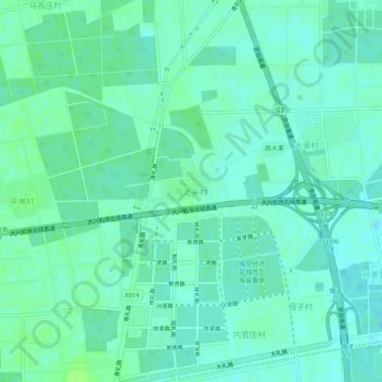
Name: Topografische Karte 河北头村, Höhe, Relief.
Ort: 河北头村, 大兴区, 北京市, 中国 (39.55687 116.44302 39.59687 116.48302)
Durchschnittliche Höhe: 27 m
Minimale Höhe: 23 m
Maximale Höhe: 32 m
Vielen Dank für die Unterstützung dieser Website ❤️
Spenden
Spenden
Rüste dich für dein nächstes Abenteuer:
Als Amazon-Partner verdient diese Seite an qualifizierten Käufen, ohne dass Ihnen zusätzliche Kosten entstehen.
Andere topografische Karten
Klicken Sie auf eine Karte, um ihre Topografie, ihre Höhe und ihr Relief anzuzeigen.