
Topografische Karte Inright Lake
Klicken Sie auf die Karte, um die Höhe anzuzeigen.
Über diese Karte
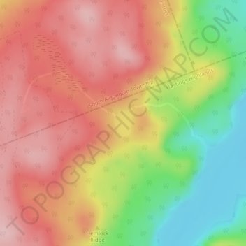
Name: Topografische Karte Inright Lake, Höhe, Relief.
Durchschnittliche Höhe: 424 m
Minimale Höhe: 304 m
Maximale Höhe: 511 m
Andere topografische Karten
Klicken Sie auf eine Karte, um ihre Topografie, ihre Höhe und ihr Relief anzuzeigen.
Monteagle Valley
Canada > Ontario > Hastings County > Hastings Highlands
Durchschnittliche Höhe: 398 m
Little Papineau Lake
Canada > Ontario > Hastings County > Hastings Highlands
Durchschnittliche Höhe: 359 m
Baptiste Lake
Canada > Ontario > Hastings County > Hastings Highlands > Baptiste Village
Durchschnittliche Höhe: 403 m