
Topografische Karte Nielsville
Interaktive Karte
Klicken Sie auf die Karte, um die Höhe anzuzeigen.
Über diese Karte
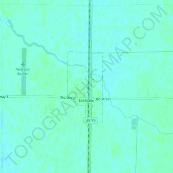
Name: Topografische Karte Nielsville, Höhe, Relief.
Ort: Nielsville, Polk County, Minnesota, United States (47.52398 -96.82078 47.53504 -96.81266)
Durchschnittliche Höhe: 265 m
Minimale Höhe: 262 m
Maximale Höhe: 268 m
Andere topografische Karten
Klicken Sie auf eine Karte, um ihre Topografie, ihre Höhe und ihr Relief anzuzeigen.
East Grand Forks
United States > Minnesota > Polk County
East Grand Forks, Polk County, Minnesota, 56721, United States
Durchschnittliche Höhe: 255 m
Lengby
United States > Minnesota > Polk County
Lengby, Polk County, Minnesota, United States
Durchschnittliche Höhe: 423 m
Fosston
United States > Minnesota > Polk County
Fosston, Polk County, Minnesota, 56542, United States
Durchschnittliche Höhe: 393 m
Crookston
United States > Minnesota > Polk County
Crookston, Polk County, Minnesota, 56716, United States
Durchschnittliche Höhe: 269 m