
Topografische Karte Six Mile Bay
Interaktive Karte
Klicken Sie auf die Karte, um die Höhe anzuzeigen.
Über diese Karte
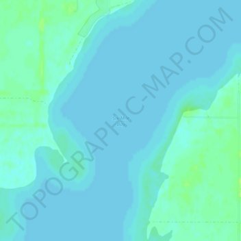
Name: Topografische Karte Six Mile Bay, Höhe, Relief.
Ort: Six Mile Bay, Ramsey County, North Dakota, United States (48.10467 -99.02546 48.10477 -99.02536)
Durchschnittliche Höhe: 442 m
Minimale Höhe: 439 m
Maximale Höhe: 449 m
Andere topografische Karten
Klicken Sie auf eine Karte, um ihre Topografie, ihre Höhe und ihr Relief anzuzeigen.
Channel A
United States > North Dakota > Ramsey County > Grand Harbor
Channel A, Grand Harbor, Ramsey County, North Dakota, United States
Durchschnittliche Höhe: 445 m
Devils Lake
United States > North Dakota > Ramsey County
Devils Lake, Ramsey County, North Dakota, 58301, United States
Durchschnittliche Höhe: 443 m