
Topografische Karte Bonita National Golf & Country Club
Interaktive Karte
Klicken Sie auf die Karte, um die Höhe anzuzeigen.
Über diese Karte
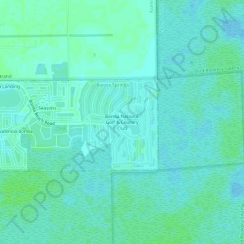
Name: Topografische Karte Bonita National Golf & Country Club, Höhe, Relief.
Durchschnittliche Höhe: 5 m
Minimale Höhe: 2 m
Maximale Höhe: 9 m