
Topografische Karte Baton Rouge
Interaktive Karte
Klicken Sie auf die Karte, um die Höhe anzuzeigen.
Über diese Karte
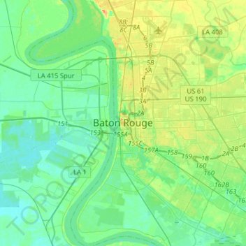
Name: Topografische Karte Baton Rouge, Höhe, Relief.
Durchschnittliche Höhe: 12 m
Minimale Höhe: 1 m
Maximale Höhe: 37 m
The city of Baton Rouge lies on the banks of the Mississippi River in southeastern Louisiana's Florida Parishes region. The city is about 79 miles (127 km) from New Orleans, 126 miles (203 km) from Alexandria, 56 miles (90 km) from Lafayette and 250 miles (400 km) from Shreveport. It is also 173 miles (278 km) from Jackson, Mississippi and 272 miles (438 km) from Houston, Texas. Baton Rouge lies on a low elevation of 56 to a little over 62 feet above sea level.