
Topografische Karte Dells of the Wisconsin River State Natural Area
Interaktive Karte
Klicken Sie auf die Karte, um die Höhe anzuzeigen.
Über diese Karte
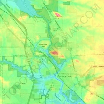
Name: Topografische Karte Dells of the Wisconsin River State Natural Area, Höhe, Relief.
Durchschnittliche Höhe: 282 m
Minimale Höhe: 244 m
Maximale Höhe: 343 m