
Topografische Karte Villahermosa
Interaktive Karte
Klicken Sie auf die Karte, um die Höhe anzuzeigen.
Über diese Karte
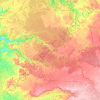
Name: Topografische Karte Villahermosa, Höhe, Relief.
Durchschnittliche Höhe: 924 m
Minimale Höhe: 798 m
Maximale Höhe: 1’017 m
Situada a 956 metros de altitud. El punto más alto de su término municipal se encuentra a 1017 msnm en el lugar llamado "Vacanás".