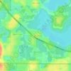
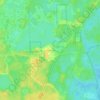
Topografische Karte Montverde
Klicken Sie auf die Karte, um die Höhe anzuzeigen.
Montverde
Montverde is located in southeastern Lake County at 28°35′58″N 81°40′34″W / 28.599476°N 81.676221°W / 28.599476; -81.676221, on the southwest shore of Lake Apopka. The town sits on hills that rise 50 to 100 feet (15 to 30 m) above the elevation of the lake. It is 18 miles (29 km) south of Tavares, the Lake county seat, and 24 miles (39 km) northwest of Orlando.
Über diese Karte
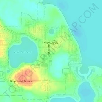
Name: Topografische Karte Montverde, Höhe, Relief.
Ort: Montverde, Lake County, Florida, 34756, United States (28.58523 -81.69418 28.61090 -81.66499)
Durchschnittliche Höhe: 27 m
Minimale Höhe: 13 m
Maximale Höhe: 58 m
Andere topografische Karten
Klicken Sie auf eine Karte, um ihre Topografie, ihre Höhe und ihr Relief anzuzeigen.






Lisbon
United States > Florida > Lake County
Lisbon has low rolling landscape with elevations ranging from 30 ft to 60 ft.
Durchschnittliche Höhe: 22 m