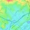
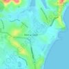
Topografische Karte Blues Point
Klicken Sie auf die Karte, um die Höhe anzuzeigen.
Über diese Karte

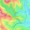
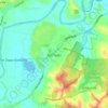
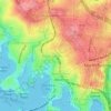
Name: Topografische Karte Blues Point, Höhe, Relief.
Ort: Blues Point, Sydney, New South Wales, 2061, Australia (-33.85064 151.20389 -33.85054 151.20399)
Durchschnittliche Höhe: 15 m
Minimale Höhe: -4 m
Maximale Höhe: 91 m
Andere topografische Karten
Klicken Sie auf eine Karte, um ihre Topografie, ihre Höhe und ihr Relief anzuzeigen.
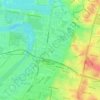
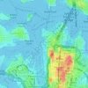
Penrith
Australia > New South Wales > Sydney > Penrith
Penrith is a city in New South Wales, Australia, located in Greater Western Sydney, 55 kilometres (31 mi) west of the Sydney central business district on the banks of the Nepean River, on the outskirts of the Cumberland Plain. Its elevation is 32 metres (105 ft).
Durchschnittliche Höhe: 34 m
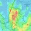
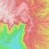
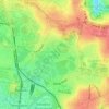
Wentworth Falls
Australia > New South Wales > Sydney
Wentworth Falls (postcode: 2782) is a town in the Blue Mountains region of New South Wales, situated approximately 100 kilometres (62 mi) west of the Sydney central business district, and about 8 kilometres (5.0 mi) east of Katoomba, Australia on the Great Western Highway, with a Wentworth Falls railway…
Durchschnittliche Höhe: 708 m
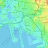














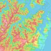
Ku-ring-gai Chase National Park
Australia > New South Wales > Sydney
Ku-ring-gai Chase is part of the Hornsby Plateau, a massive block of sandstone tilting upwards to the north. The park comprises a plateau with an elevation of generally 150–200 m above sea level. Between 250 and 200 million years ago, sand silt and mud was deposited by rivers across flood plains. These…
Durchschnittliche Höhe: 83 m

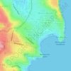


Cabbage Tree Bay Aquatic Reserve
Australia > New South Wales > Sydney > Manly
Durchschnittliche Höhe: 15 m