
Topografische Karte Boone Island (historical)
Interaktive Karte
Klicken Sie auf die Karte, um die Höhe anzuzeigen.
Über diese Karte
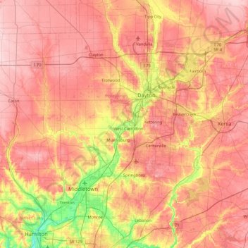
Name: Topografische Karte Boone Island (historical), Höhe, Relief.
Durchschnittliche Höhe: 276 m
Minimale Höhe: 168 m
Maximale Höhe: 354 m