

Topografische Karte Hayling Island
Klicken Sie auf die Karte, um die Höhe anzuzeigen.
Hayling Island
An Iron Age shrine in the north of Hayling Island was later developed into a Roman temple in the 1st century BC and was first recorded in Richard Scott's Topographical and Historical Account of Hayling Island (1826). The site was dug between 1897 and 1907 and again from 1976 to 1978. The remains are now buried under farmland. The first coin credited to Commius that was found in an archaeological dig was found at the temple. This Commius was probably the son of the Commius mentioned by Julius Caesar, although it is possible the coin was issued by the same Commius.
Über diese Karte
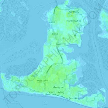
Name: Topografische Karte Hayling Island, Höhe, Relief.
Durchschnittliche Höhe: 1 m
Minimale Höhe: -4 m
Maximale Höhe: 10 m