
Topografische Karte Lakeland
Interaktive Karte
Klicken Sie auf die Karte, um die Höhe anzuzeigen.
Über diese Karte
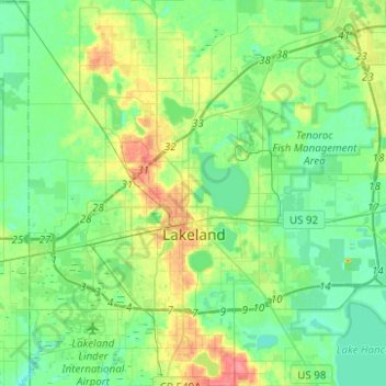
Name: Topografische Karte Lakeland, Höhe, Relief.
Ort: Lakeland, Polk County, Florida, United States (27.95267 -82.05610 28.17197 -81.83880)
Durchschnittliche Höhe: 44 m
Minimale Höhe: 27 m
Maximale Höhe: 84 m
Andere topografische Karten
Klicken Sie auf eine Karte, um ihre Topografie, ihre Höhe und ihr Relief anzuzeigen.
Davenport
United States > Florida > Polk County
Davenport, Polk County, Florida, 33836, United States
Durchschnittliche Höhe: 40 m
Fussells Corner
United States > Florida > Polk County > Fussells Corner
Fussells Corner, Polk County, Florida, 33829, United States
Durchschnittliche Höhe: 38 m
Lake of the Hills
United States > Florida > Polk County > Lake of the Hills
Lake of the Hills, Polk County, Florida, 33877, United States
Durchschnittliche Höhe: 47 m