
Topografische Karte Cammarata
Interaktive Karte
Klicken Sie auf die Karte, um die Höhe anzuzeigen.
Über diese Karte
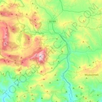
Name: Topografische Karte Cammarata, Höhe, Relief.
Ort: Cammarata, Agrigento, Sicily, 92022, Italy (37.56550 13.54619 37.69501 13.83136)
Durchschnittliche Höhe: 598 m
Minimale Höhe: 120 m
Maximale Höhe: 1’562 m
Cammarata is a comune (municipality) in the Province of Agrigento in the Italian region Sicily, located about 60 kilometres (37 mi) southeast of Palermo and about 35 kilometres (22 mi) north of Agrigento on the eponymous mountain, which has an elevation 1,578 metres (5,177 ft) above sea level in a territory rich in forests.