

Topografische Karte Mount Etna
Klicken Sie auf die Karte, um die Höhe anzuzeigen.
Mount Etna
During the first 1500 years AD, many eruptions went unrecorded (or records have been lost); among the more significant are: (1) an eruption in about 1030 AD near Monte Ilice on the lower southeast flank, which produced a lava flow that travelled about 10 km, reaching the sea north of Acireale; the villages of Santa Tecla and Stazzo are built on the broad delta built by this lava flow into the sea; (2) an eruption in about 1160 (or 1224), from a fissure at only 350–450 m (1,148–1,476 ft) elevation on the south-southeast flank near the village of Mascalucia, whose lava flow reached the sea just to the north of Catania, in the area now occupied by the portion of the city named Ognina.
Über diese Karte
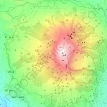
Name: Topografische Karte Mount Etna, Höhe, Relief.
Ort: Mount Etna, Via Carso, Adrano, Catania, Sicily, 95031, Italy (37.62235 14.82551 37.87524 15.13241)
Durchschnittliche Höhe: 1’157 m
Minimale Höhe: 144 m
Maximale Höhe: 3’312 m