
Topografische Karte Mount Banahaw and San Cristobal Protected Landscape
Interaktive Karte
Klicken Sie auf die Karte, um die Höhe anzuzeigen.
Über diese Karte
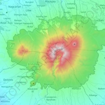
Name: Topografische Karte Mount Banahaw and San Cristobal Protected Landscape, Höhe, Relief.
Durchschnittliche Höhe: 592 m
Minimale Höhe: 102 m
Maximale Höhe: 2’142 m