
Topografische Karte Lickey Hills Country Park
Interaktive Karte
Klicken Sie auf die Karte, um die Höhe anzuzeigen.
Über diese Karte
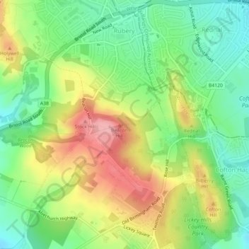
Name: Topografische Karte Lickey Hills Country Park, Höhe, Relief.
Durchschnittliche Höhe: 226 m
Minimale Höhe: 171 m
Maximale Höhe: 298 m