Topografische Karten Negeri Sembilan
Klicken Sie auf eine Karte, um ihre Topografie, ihre Höhe und ihr Relief anzuzeigen.


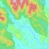
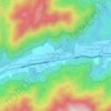
Kampung Orang Asli Kolam Air
Malaysia > Negeri Sembilan > Kampung Baru Pantai
Durchschnittliche Höhe: 168 m


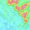







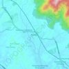


Gunung Besar Hantu
Due to its higher altitude relative to other Negri mountains, the summit of Besar Hantu experiences a constant cool highland climate, where it also hosts a mossy forest nearby.
Durchschnittliche Höhe: 1’015 m
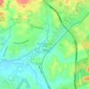











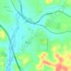
Pokok Kelat Gelam
Malaysia > Negeri Sembilan > Kampung Peradong > Kampung Seri Temoi
Durchschnittliche Höhe: 206 m

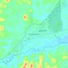
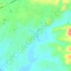
Gunung Datuk
The main highlight of the mountain is a tor that consists of massive granite boulders, at the elevation of 855 m (2,805 ft).
Durchschnittliche Höhe: 450 m

Gunung Angsi
Part of the Titiwangsa Mountains, it is the seventh tallest mountain in the state, behind Mts. Besar Hantu, Hantu Kecil, Telapak Buruk, Berembun and Datuk, with an elevation of 2,707 feet (825 m).
Durchschnittliche Höhe: 552 m