Topografische Karten Sabah
Klicken Sie auf eine Karte, um ihre Topografie, ihre Höhe und ihr Relief anzuzeigen.











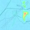
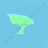
Banggi Island
Banggi Island (Malay: Pulau Banggi) is located within the Kudat Division of Sabah in Malaysia. With an area of 440.7 square kilometres, it is the largest island in Malaysia followed by Bruit Island, Langkawi Island and Penang Island. It is located off the northern coast of Sabah near Marudu Bay. The highest…
Durchschnittliche Höhe: 21 m


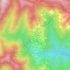
Kinabalu Park
Malaysia > Sabah > Ranau > Tinompok
The park headquarters is 88 kilometres away from the city of Kota Kinabalu. There are sealed roads leading towards the park headquarters from other parts of Sabah. It is situated on the southern boundary of Kinabalu Park, at an elevation of 1,563 m (5,128 ft).
Durchschnittliche Höhe: 2’063 m




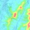
Tuaran
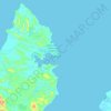
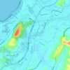
The topography of the Tuaran District mostly consists of lowland areas along the coastline, while the inland areas are characterized by highlands and hilly terrain. The highest point in the Tuaran District is Mount Alab, which reaches an elevation of 1,951 meters. The longest river in this district is the…
Durchschnittliche Höhe: 469 m



Mount Kinabalu
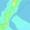
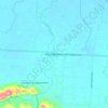
Low's Peak can be climbed by a person in good physical condition without mountaineering equipment on the main route. However, climbers must be accompanied by accredited guides at all times due to national park regulations and the risk of experiencing altitude sickness.
Durchschnittliche Höhe: 3’567 m




Sipitang
Sipitang district is located within a national and international route. Southern Sabah Federal Route 1 of the Pan Borneo Highway passes through this district, hence it can be reached from Beaufort from the north, Tenom from the east and Lawas, Sarawak from southwest. At the same time, the coastline stretches…
Durchschnittliche Höhe: 716 m



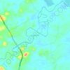
Banggi Island
Banggi Island or Banguey Island (Malay: Pulau Banggi; Kadazan Dusun: Bonggi) is located in the Kudat Division of Kudat District, Sabah in Malaysia. With an area of 440.7 square kilometres (170.2 sq mi) separated from the Sabah mainland by the South Banggi Channel, it is the largest island fully in the country…
Durchschnittliche Höhe: 21 m