Topografische Karte Tanjung Rambutan
Klicken Sie auf die Karte, um die Höhe anzuzeigen.
Tanjung Rambutan
Tanjung Rambutan is located at an elevation of 60 meters above sea level. The town is situated on the banks of the Kinta River and is surrounded by hills and forests. The town is known for its tropical climate, with temperatures ranging from 22 °C to 32 °C throughout the year.
Über diese Karte
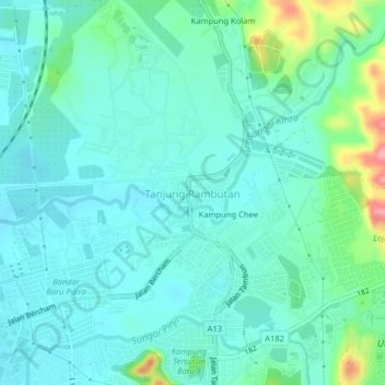
Name: Topografische Karte Tanjung Rambutan, Höhe, Relief.
Ort: Tanjung Rambutan, Ipoh, Kinta, Perak, 31250, Malaysia (4.65035 101.13686 4.69035 101.17686)
Durchschnittliche Höhe: 83 m
Minimale Höhe: 59 m
Maximale Höhe: 176 m
Andere topografische Karten
Klicken Sie auf eine Karte, um ihre Topografie, ihre Höhe und ihr Relief anzuzeigen.



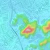
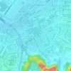
Gunung Rapat New Village
Malaysia > Perak > Ipoh > Gunung Rapat New Village
Durchschnittliche Höhe: 56 m