

Topografische Karten Perak
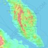
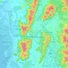
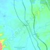
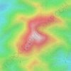
Klicken Sie auf eine Karte, um ihre Topografie, ihre Höhe und ihr Relief anzuzeigen.










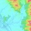
Proposed Aboriginal Area Reserve of Chinggong (Jernang)
Malaysia > Perak > Kampung Behrang Ulu
Durchschnittliche Höhe: 74 m






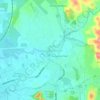
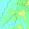
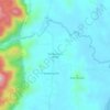
Tanjung Rambutan
Tanjung Rambutan is located at an elevation of 60 meters above sea level. The town is situated on the banks of the Kinta River and is surrounded by hills and forests. The town is known for its tropical climate, with temperatures ranging from 22 °C to 32 °C throughout the year.
Durchschnittliche Höhe: 83 m














Über diesen Ort
Ipoh • Taiping • Majlis Bandaraya Ipoh • Kuala Kangsar • Kamunting • Kampar • Changkat Jering • Matang • Gopeng • Tapah • Sungai Siput • Jelai • Sungai Kerang • Parit Buntar • Bagan Serai • Bidor • Manong • Sungkai • Tanjong Malim • Chenderiang • Bota • Slim River • Behrang • Kampung Behrang Ulu • Trong • Pengkalan Baharu • Ulu Sepetang • Selama (Perak) • Kampung Sungai Chincin • Kampung Kepayang • Behrang • Kampung Mutiara • Kampung Sungai Rambutan • Pantai Remis • Tanjung Piandang • Kampung Tersusun Batu 20 • Kampung Gajah • Pos Tenau • Kampung Perak • Buntong • Sauk • Beruas • Bagan Baharu • Kampung Chain • Kampung Org Asli Pendeq • Kampung Tebok • Kota Baharu • Kampung Kurnia Jaya • Gedung Bay • Lawin • Kg. Kepayang • Kg. Baru Simpang Pulai • Sitiawan • Seri Manjung • Kampung Titi Kasai • Pangkor Island • Gerik • Teluk Intan • Chemor • Parit