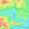
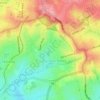
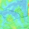
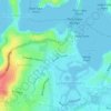
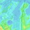
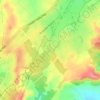
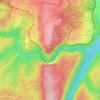
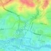
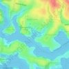
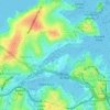
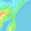
Topografische Karte Mount Lewis
Klicken Sie auf die Karte, um die Höhe anzuzeigen.
Über diese Karte

Name: Topografische Karte Mount Lewis, Höhe, Relief.
Ort: Mount Lewis, Sydney, New South Wales, 2190, Australia (-33.91806 151.04488 -33.91335 151.05599)
Durchschnittliche Höhe: 39 m
Minimale Höhe: 9 m
Maximale Höhe: 68 m
Andere topografische Karten
Klicken Sie auf eine Karte, um ihre Topografie, ihre Höhe und ihr Relief anzuzeigen.
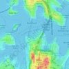



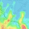


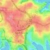
St Leonards Park
Australia > New South Wales > Sydney > North Sydney
In 2018 it was announced that North Sydney Council would commence an upgrade of the park including improving the war memorial with a reflection pool, restoration of the Tunks Fountain and elevation on a new plinth, new benches, picnic tables, barbecues and drinking fountains, upgrades to lighting, additional…
Durchschnittliche Höhe: 61 m